How to use Google Maps to check air quality in your city? Say hi to Air View
5 months ago | 5 Views
Google has rolled out Air View, a new tool providing real-time and hyperlocal air quality information across India through Google Maps. The feature was announced earlier this week and aims to help citizens and local authorities to monitor and address issues related to air pollution. The deteriorating AQI or Air Quality Index has been a pressing issue in many Indian cities, especially those in north India like New Delhi and adjoining satellite locations.
Delhi recently recorded a PM 2.5 Air Quality Index (AQI) of over 500 micrograms per cubic metre of air. AQI of this level is categorised as toxic and led to the government imposing restrictions on vehicle movement, construction activities and a shift to virtual classes for schools.
Google Air View: How it works
Air View uses a network of air quality sensors installed in over 150 cities, including major urban areas that have previously lacked monitoring infrastructure. These sensors have been deployed on utility poles, commercial sites and administrative buildings to measure pollutants such as PM2.5, PM10, carbon dioxide and nitrogen dioxide. They are also capable of measuring other weather parameters like temperature and humidity.
Related watch: Tips To Clean Your Car’s AC Vents | All Things Auto | HT Auto
The data collected by these sensors is approved by researchers from institutions like IIT Delhi and IIT Hyderabad and analysed using Google's artificial intelligence to provide localised insights. The information will be available to municipal authorities as well as citizens. Urban planners may use this feature to identify pollution hotspots and develop area-wise responses as well.
Google Air View: Public access on Google Maps
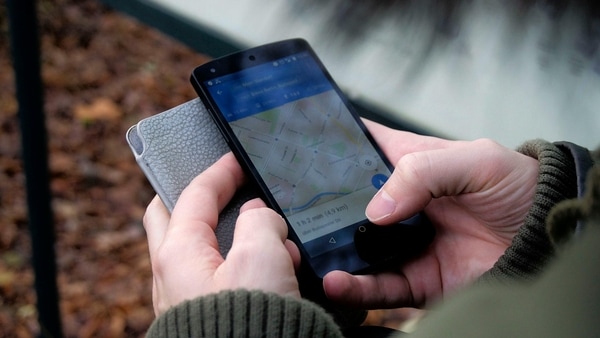
Users can access the new AQI information on Google Maps by selecting the ‘Air Quality layer’ or using the ‘Weather’ widget. After selecting this, the user is required to tap on the area to view the current air quality of a specific location. This feature is particularly useful for vulnerable populations such as children and the elderly helping them take precautions like wearing masks, planning ahead and limiting outdoor exposure.
Google Air View: A collaborative effort
The initiative involves partnerships with local climate-tech companies such as ‘Aurassure’ and ‘Respirer Living Sciences’ which have helped set up the sensor network. These organisations alongside researchers and state pollution boards ensure the accuracy and usability of data.
Read Also: For the first time ever! This church is using AI Jesus to help you confess
HOW DID YOU LIKE THIS ARTICLE? CHOOSE YOUR EMOTICON !
#


